🔴 Website 👉 https://u-s-news.com/
Telegram 👉 https://t.me/usnewscom_channel
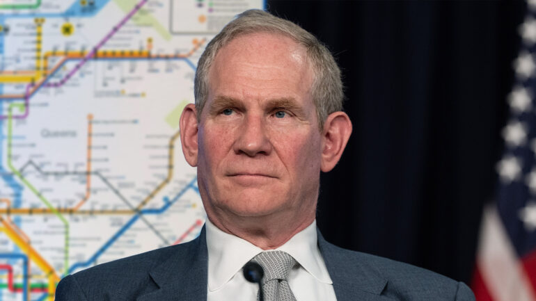
NEW YORK—In an effort to bring greater transparency to the city’s public transit system, New York’s Metropolitan Transportation Authority released a statement Monday admitting that large parts of its subway map had been fabricated. “Despite the common belief that the map is an accurate representation of the nation’s largest subway system, it in fact depicts many stations and routes we completely made up, especially in the outer boroughs,” said MTA chief Janno Lieber, who added that the creators of the map were “under a lot of pressure” to meet a deadline, and that actually charting out all 665 miles of track would be an “unreasonably large undertaking.” “Frankly, no one I know has ever ridden farther than the Carroll Street Station in Brooklyn. We’re not really sure what’s out there, but we figured we’d better put something on the map. Now we see the error in our ways. It was a mistake to trick New Yorkers into believing the G train exists—it does not. And I mean, come on, does ‘Hoyt-Schermerhorn’ sound like a real station name to anybody? Chances are we made that one up too.” At press time, a sheepish Lieber revealed what he called the MTA’s only “100% verified map,” which was entirely blank apart from a single train line running directly from New York City Hall to New Jersey.