🔴 Website 👉 https://u-s-news.com/
Telegram 👉 https://t.me/usnewscom_channel
OAN Staff Abril Elfi
6:06 PM – Monday, September 9, 2024
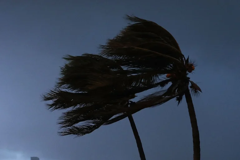
Tropical Storm Francine is reportedly expected to turn into a hurricane.
Advertisement
On Monday, the National Hurricane Center (NHC) said that the storm started as a disturbance in the Gulf of Mexico and strengthened into a Tropical Storm.
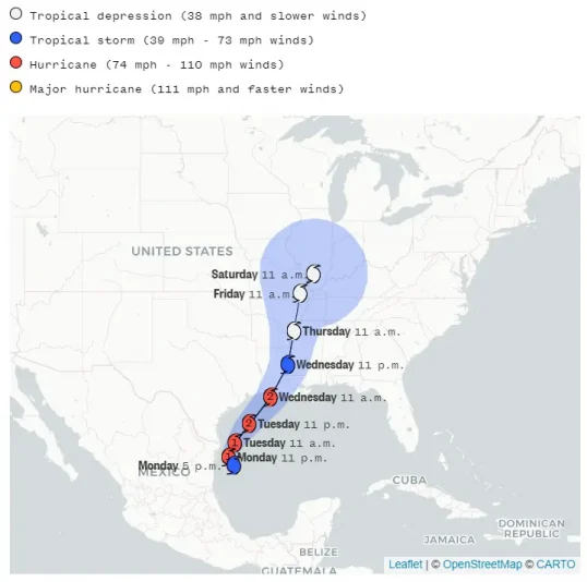
“Francine is forecast to be a hurricane when it reaches the northwestern Gulf Coast on Wednesday or Wednesday night and there is an increasing likelihood of life-threatening storm surge inundation for portions of the Upper Texas and Louisiana coastlines where a storm surge watch is in effect,” forecasters said in an advisory Monday from the National Hurricane Center, which also pointed to “an increasing risk of damaging hurricane-force winds in portions of southern Louisiana” starting Wednesday.
The NHC also said that the storm is expected to begin traveling faster towards the northeast on Tuesday.
They are also anticipating that by Wednesday, Francine will approach Louisiana and upper Texas coastlines following a period of intensification overnight and into the next morning.
The NCH stated that if a peak surge and a high tide were to occur at the same time, water levels in Cameron, Louisiana to Port Fourchon, Louisiana could rise to between five to 10 feet above ground levels.
Levels from Port Fourchon to the mouth of the Mississippi River could reach four to seven feet. From Cameron to High Island they could reach three to five.

Forecasters also stated that Francine appeared to shift slightly eastward between Monday morning and the early afternoon, which suggests that the storm would move ashore in Louisiana at some point on Wednesday evening.
“The estimated motion is still tricky given the center only recently formed,” they said in an advisory at 11 a.m., which acknowledged that some elements of Francine’s track remained uncertain.
Stay informed! Receive breaking news blasts directly to your inbox for free. Subscribe here. https://www.oann.com/alerts
Advertisements below